
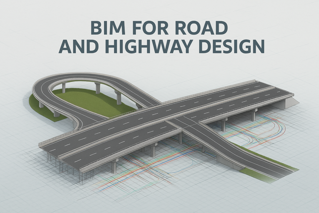
The rapid growth of infrastructure projects worldwide has led to the need for smarter, more efficient design and construction methods. Building Information Modeling (BIM) for road and highway design has revolutionized how engineers, planners, and contractors approach transportation projects.
By integrating 3D modeling, real-time collaboration, and data-rich simulations, BIM enhances the entire lifecycle of road and highway projects—from planning and design to construction and maintenance. This article explores how BIM is transforming road and highway design, its key benefits, and real-world applications.
Table of Contents
Introduction to BIM for Infrastructure
Traditionally, road and highway design relied on 2D CAD drawings and separate data sources, leading to miscommunication, inefficiencies, and costly design errors. With BIM (Building Information Modeling), the entire infrastructure project is created as a digital model, allowing seamless collaboration between engineers, planners, and contractors.
BIM is particularly useful in road and highway projects because it allows better visualization, data integration, and decision-making at every stage. Governments and private contractors worldwide are now making BIM mandatory in major infrastructure projects.
Understanding BIM for Road and Highway Design
BIM for road and highway design goes beyond traditional 2D drawings by incorporating:
- 3D geometry of roads, bridges, and tunnels
- 4D scheduling for construction sequencing
- 5D cost estimation
- 6D sustainability and lifecycle management
- 7D maintenance and asset management
This multi-dimensional approach ensures that road projects are designed, constructed, and maintained efficiently.
Why BIM is Important for Road and Highway Design
BIM improves road and highway projects in multiple ways:
✅ Enhanced Accuracy: Reduces design errors by creating detailed 3D models.
✅ Cost Savings: Predicts material requirements and optimizes resources.
✅ Faster Construction: Reduces rework through better coordination.
✅ Improved Safety: Identifies potential risks early in the project.
✅ Sustainability: Evaluates environmental impact and optimizes designs.
BIM-Based Road Planning and Alignment Design
In traditional road design, engineers rely on paper-based maps, GIS data, and site surveys. With BIM, road planners can:
✔ Analyze multiple alignment options based on traffic flow, terrain, and land use
✔ Use real-time topographical data to minimize environmental impact
✔ Generate 3D visualizations of highways before construction begins
For example, Autodesk InfraWorks allows designers to simulate terrain conditions and evaluate different road alignments before finalizing the best option.
3D and 4D BIM for Highway Construction
3D BIM models provide detailed representations of roadways, bridges, and drainage systems, while 4D BIM adds time-based elements, enabling:
🔹 Accurate scheduling of construction phases
🔹 Visualization of potential conflicts between road components
🔹 Real-time updates for project teams
For instance, Bentley OpenRoads Designer integrates 4D simulations to optimize construction timelines.
Collaboration and Data Management in BIM
One of the key advantages of BIM is centralized data sharing among project stakeholders. Using cloud-based platforms like Autodesk BIM 360:
✔ Engineers, contractors, and government agencies access real-time project data
✔ Changes in design are automatically updated across teams
✔ Clash detection ensures that utility lines and road networks do not overlap
This reduces miscommunication and costly design errors.
BIM for Traffic Analysis and Road Safety
Road safety is a critical factor in highway design. BIM integrates traffic simulation software to:
🚦 Predict congestion points and optimize lane usage
🚦 Evaluate pedestrian safety and intersection design
🚦 Simulate emergency scenarios and evacuation routes
For example, PTV Vissim is used with BIM models to analyze traffic patterns before construction.
Materials and Environmental Impact Assessment Using BIM
BIM software includes sustainability analysis tools to:
🌱 Assess the carbon footprint of materials
🌱 Optimize asphalt and concrete usage
🌱 Reduce environmental impact through smart design
For example, Autodesk Green Building Studio helps engineers choose eco-friendly construction materials.
Digital Twin Technology for Road Infrastructure
A Digital Twin is a real-time virtual replica of a road or highway. By integrating BIM with IoT sensors, digital twins can:
🛣 Monitor road conditions in real-time
🛣 Predict wear and tear of highways
🛣 Improve asset management for long-term maintenance
For instance, Singapore’s Smart Nation Initiative uses digital twins for road management and predictive maintenance.
BIM in Bridge and Tunnel Integration
Highway projects often involve complex structures like bridges and tunnels. BIM ensures:
✅ Structural integrity analysis
✅ Integration with road networks
✅ Safety compliance for bridges and tunnels
For example, Tekla Structures enables engineers to model bridge reinforcements and tunnel ventilation systems before construction.
Case Study: BIM for a Smart Highway Project
A recent highway expansion project in the UK used BIM for smart road design:
✔ 3D modeling improved accuracy in road geometry
✔ BIM-based scheduling reduced construction time by 20%
✔ Sensors were embedded for real-time road monitoring
As a result, the project saw fewer delays and cost savings of 15%.
Challenges in BIM Implementation for Road Design
Despite its advantages, BIM adoption in road design faces challenges:
🚧 High initial investment in software and training
🚧 Interoperability issues with existing CAD-based workflows
🚧 Lack of BIM expertise in civil engineering teams
However, governments are now mandating BIM in infrastructure projects to drive adoption.
The Future of BIM in Road and Highway Construction
🔹 AI-driven road optimization
🔹 Automation in highway construction
🔹 IoT-connected smart roads
As technology evolves, BIM will play a key role in shaping the future of highway infrastructure.
Conclusion
BIM has transformed road and highway design by making infrastructure projects more efficient, cost-effective, and sustainable. With its ability to integrate 3D modeling, real-time collaboration, and predictive maintenance, BIM is the future of road construction.
FAQs
- What is the main advantage of using BIM in road design?
- BIM enhances design accuracy, reduces errors, and improves project efficiency.
- How does BIM improve road construction safety?
- BIM-based simulations help identify potential hazards, ensuring better site management.
- Which software is best for BIM in road design?
- Popular tools include Autodesk Civil 3D, Bentley OpenRoads Designer, and Trimble Novapoint.
- What are the challenges of implementing BIM for highways?
- High initial costs, lack of skilled professionals, and integration issues with traditional workflows.
- What is the future of BIM in road and highway projects?
- AI, digital twins, and smart road designs will shape the future of BIM in transportation.